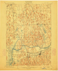
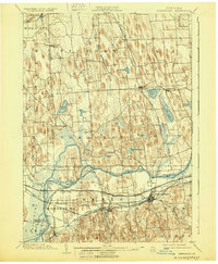
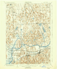
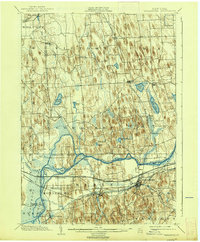
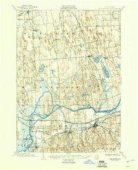
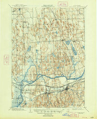
1902 Map of Weedsport
USGS Topo · Published 1912About this map
The Seneca River carves a winding path through this central New York landscape, defined by an intricate network of waterways and early industrial transport. Key hubs like Weedsport and Port Byron sit at the intersection of land and water travel, with the historic Erie Canal and Seneca Canal serving as primary corridors for movement. The map captures a moment when the canal system still shaped the economic life of towns such as Montezuma, where the Canal Basin remains a prominent feature of the local topography.
Find a feature on this map
55 named features on this map. Tap any name to fly to it.
Don’t see what you’re looking for? This feature index may not catch every label — zoom into the map to look around manually.
Map Details
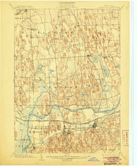
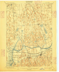
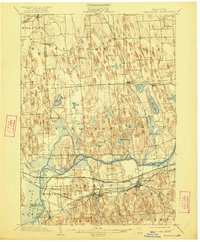
Editions of this 1902 Weedsport Map
10 editions found
Other maps of this area

1899 · Auburn
USGS Topo · 1:62,500

1899 · Skaneateles
USGS Topo · 1:62,500

1900 · Baldwinsville
USGS Topo · 1:62,500

1900 · Oswego
USGS Topo · 1:62,500

1900 · Fulton
USGS Topo · 1:62,500

1902 · Sodus Bay
USGS Topo · 1:62,500

1902 · Skaneateles
USGS Topo · 1:62,500

1902 · Geneva
USGS Topo · 1:62,500

1902 · Clyde
USGS Topo · 1:62,500

1902 · Weedsport
USGS Topo · 1:62,500