
1895 Map of Pulaski
USGS Topo · Published 1895About this map
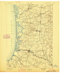
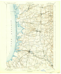
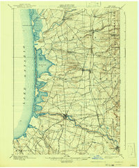
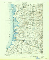
The Salmon River and its tributary system dominate this late-nineteenth-century landscape, carving through the central lowlands to reach the eastern shores of Lake Ontario. The industrial and social hub of Pulaski stands as the primary settlement, positioned where the river’s power supported local enterprise. Along the coastline, a Life Saving Station sits near the mouth of the river, highlighting the maritime importance of Port Ontario and the shifting dunes surrounding North Pond and South Pond.
Find a feature on this map
44 named features on this map. Tap any name to fly to it.
Don’t see what you’re looking for? This feature index may not catch every label — zoom into the map to look around manually.
Map Details
Editions of this 1895 Pulaski Map
8 editions found
Other maps of this area

1893 · Sackets Harbor
USGS Topo · 1:62,500

1895 · Sacketts Harbor
USGS Topo · 1:62,500

1895 · Stony Island
USGS Topo · 1:62,500

1895 · Watertown
USGS Topo · 1:62,500

1898 · Watertown
USGS Topo · 1:62,500

1900 · Fulton
USGS Topo · 1:62,500

1903 · Orwell
USGS Topo · 1:62,500

1905 · Orwell
USGS Topo · 1:62,500

1905 · Mexico
USGS Topo · 1:62,500

1906 · Kasoag
USGS Topo · 1:62,500