
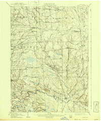
1905 Map of Orwell
USGS Topo · Published 1905About this map
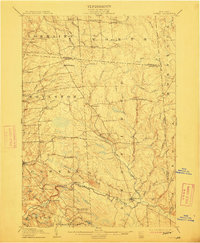
The Salmon River carves a significant path through this early twentieth-century landscape, dropping dramatically at Salmon Falls before reaching the tiny community of Bennett Bridge. This northern New York territory, spanning the border of Jefferson and Oswego Counties, is defined by a dense network of upland settlements and small agricultural crossroads. Hamlets like Little John Settlement, New Scriba, and Frederick Corners are connected by a web of rural roads, while the northern reaches include Worth Center and Waterville.
Find a feature on this map
64 named features on this map. Tap any name to fly to it.
Don’t see what you’re looking for? This feature index may not catch every label — zoom into the map to look around manually.
Map Details
Editions of this 1905 Orwell Map
6 editions found
Other maps of this area

1893 · Sackets Harbor
USGS Topo · 1:62,500

1895 · Sacketts Harbor
USGS Topo · 1:62,500

1895 · Pulaski
USGS Topo · 1:62,500

1895 · Watertown
USGS Topo · 1:62,500

1898 · Watertown
USGS Topo · 1:62,500

1902 · Carthage
USGS Topo · 1:62,500

1903 · Orwell
USGS Topo · 1:62,500

1904 · Carthage
USGS Topo · 1:62,500

1905 · Mexico
USGS Topo · 1:62,500

1905 · Taberg
USGS Topo · 1:62,500