
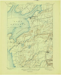
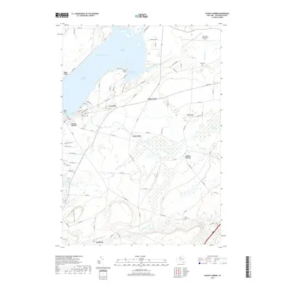
1893 Map of Sackets Harbor
USGS Topo · Published 1963About this map
Sackets Harbor serves as the focal point of this coastal Lake Ontario survey, emphasizing its military and maritime significance in the late 19th century. The presence of Madison Barracks and the Sackets Harbor L. H. on Navy Pt. highlights the area's strategic positioning along Black River Bay. Inland, the landscape is defined by the agrarian and industrial development of the late 1800s, with various family-named settlements like Greens Settlement and Thomas Settlement dotting the countryside. Transportation is anchored by the R. W. and O. R. R., which connects the rural centers of Adams Center and Adams to the wider region. The shoreline is intricately mapped, showing the complex geography of Henderson Bay and the numerous points and islands, such as Horse Id. and Pillar Pt., that guided sailors toward the harbor.
Find a feature on this map
64 named features on this map. Tap any name to fly to it.
Don’t see what you’re looking for? This feature index may not catch every label — zoom into the map to look around manually.
Map Details
Editions of this 1893 Sackets Harbor Map
This is the sole edition of this map. No revisions or reprints were ever made.
Historical Maps of Brownville Through Time
9 maps found
1893 Sackets Harbor
Jefferson County, NY
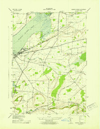
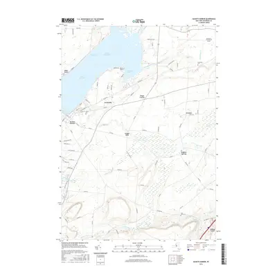
1895 Sackets Harbor
Jefferson County, NY
1943 Sackets Harbor
Jefferson County, NY
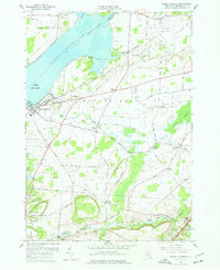
1959 Sackets Harbor
Jefferson County, NY
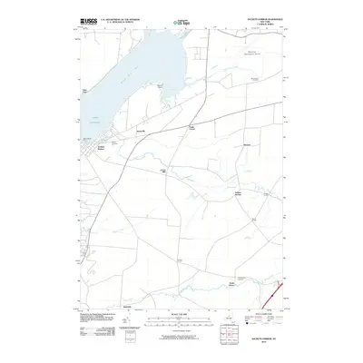
2010 Sackets Harbor
Jefferson County, NY
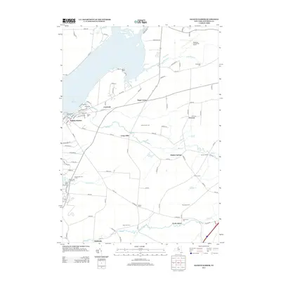
2013 Sackets Harbor
Jefferson County, NY
2016 Sackets Harbor
Jefferson County, NY
2019 Sackets Harbor
Jefferson County, NY

2023 Sackets Harbor
Jefferson County, NY