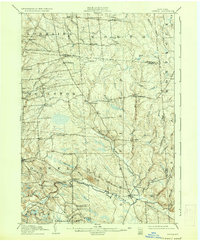
1905 Map of Orwell
USGS Topo · Published 1937About this map
The Salmon River and its dramatic Salmon Falls carve through this upland section of the Tug Hill region during the first years of the twentieth century. This area, spanning the borders of Oswego, Jefferson, and Lewis counties, shows a landscape defined by isolated agricultural hamlets and small-scale milling operations that relied on the steep gradients of the local waterways. Small clusters like Otto Mills and Smartville appear as vital local centers for timber and farming, while the North Branch Salmon River winds south through the heart of the terrain to meet the main river channel near Redfield.
Find a feature on this map
61 named features on this map. Tap any name to fly to it.
Don’t see what you’re looking for? This feature index may not catch every label — zoom into the map to look around manually.
Map Details
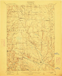
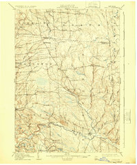
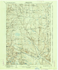
Editions of this 1905 Orwell Map
6 editions found

Other maps of this area

1893 · Sackets Harbor
USGS Topo · 1:62,500

1895 · Sacketts Harbor
USGS Topo · 1:62,500

1895 · Pulaski
USGS Topo · 1:62,500

1895 · Watertown
USGS Topo · 1:62,500

1898 · Watertown
USGS Topo · 1:62,500

1902 · Carthage
USGS Topo · 1:62,500

1903 · Orwell
USGS Topo · 1:62,500

1904 · Carthage
USGS Topo · 1:62,500

1905 · Orwell
USGS Topo · 1:62,500

1905 · Mexico
USGS Topo · 1:62,500