
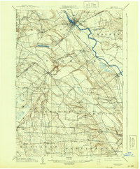
1904 Map of Carthage
USGS Topo · Published 1904About this map
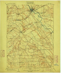
The Black River carves a dramatic path through the center of this landscape, acting as both a natural barrier and a source of industrial power. In 1904, the river corridor is busy with the New York Central and Hudson River railroad and the Utica Line, connecting riverbank settlements like Carthage and Castorland. Away from the main valley, the geography climbs toward the Tug Hill plateau, where a grid of rural crossroads like Gardners Corners, Champion Huddle, and Rector defines the farming economy. Significant elevation changes are marked by High Falls and Kings Falls along the Deer River, while Mt. McQuillen stands as a prominent northern landmark. This survey captures a moment when the transition from traditional river power to rail-dependent commerce was fully realized across Jefferson and Lewis Counties.
Find a feature on this map
47 named features on this map. Tap any name to fly to it.
Don’t see what you’re looking for? This feature index may not catch every label — zoom into the map to look around manually.
Map Details
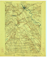
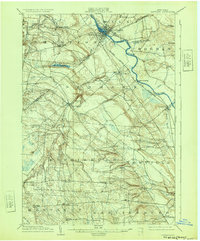
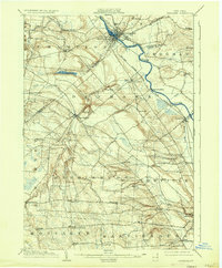
Editions of this 1904 Carthage Map
6 editions found
Other maps of this area

1895 · Watertown
USGS Topo · 1:62,500

1898 · Watertown
USGS Topo · 1:62,500

1902 · Carthage
USGS Topo · 1:62,500

1903 · Theresa
USGS Topo · 1:62,500

1903 · Orwell
USGS Topo · 1:62,500

1905 · Orwell
USGS Topo · 1:62,500

1905 · Port Leyden
USGS Topo · 1:62,500

1906 · Highmarket
USGS Topo · 1:62,500

1907 · Port Leyden
USGS Topo · 1:62,500

1908 · Watertown
USGS Topo · 1:62,500