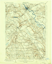
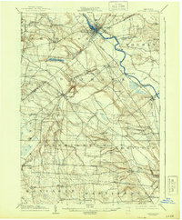
1904 Map of Carthage
USGS Topo · Published 1935About this map
Black River dominates the northern reaches of this landscape, serving as a primary corridor for the New York Central and Hudson River railroad as it winds through industrial hubs like Carthage and Lowville. The map reveals a transition from these busy riverfront settlements to the more agricultural and timbered uplands of Lewis and Jefferson counties. In the western section, the Deer River carves a path through the terrain, punctuated by the dramatic drop of High Falls near Copenhagen. This 1902 survey preserves a dense network of early 20th-century hamlets and post offices, from the curiously named Champion Huddle to small junctions like Gardners Corners and Windecker, reflecting a period when small-scale milling and local commerce defined the regional economy before the widespread expansion of modern highways changed the rural character of northern New York.
Find a feature on this map
51 named features on this map. Tap any name to fly to it.
Don’t see what you’re looking for? This feature index may not catch every label — zoom into the map to look around manually.
Map Details
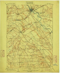
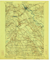
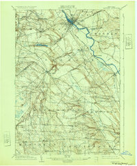
Editions of this 1904 Carthage Map
6 editions found
Other maps of this area

1895 · Watertown
USGS Topo · 1:62,500

1898 · Watertown
USGS Topo · 1:62,500

1902 · Carthage
USGS Topo · 1:62,500

1903 · Theresa
USGS Topo · 1:62,500

1903 · Orwell
USGS Topo · 1:62,500

1904 · Carthage
USGS Topo · 1:62,500

1905 · Orwell
USGS Topo · 1:62,500

1905 · Port Leyden
USGS Topo · 1:62,500

1906 · Highmarket
USGS Topo · 1:62,500

1907 · Port Leyden
USGS Topo · 1:62,500