
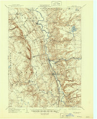
1907 Map of Port Leyden
USGS Topo · Published 1907About this map
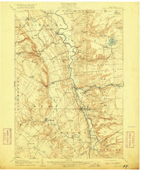
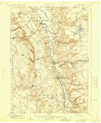
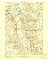
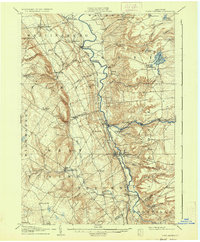
Port Leyden and the surrounding Lewis County landscape in the early twentieth century are defined by the hydraulic and industrial power of the Black River valley. The Black River Canal runs parallel to the river through the southern portion of the map, serving as a vital transport artery alongside the New York Central and Hudson River RR and the Utica Line. Industrial hubs like Lyons Falls, Goulds Mill, and Kosterville illustrate the era's reliance on water power, while specialized timber or freight lines like the Glenfield and Western RR push into the western highlands near Whetstone Gulf. Local social geography is recorded through small post offices and hamlets such as Leyden Station PO, Locust Grove, and Houseville. To the east, the terrain transitions into a more wooded lake district featuring Brantingham Lake and Catspaw Lake, marking a shift from the agrarian and industrial river valley to the North Country wilderness.
Find a feature on this map
65 named features on this map. Tap any name to fly to it.
Don’t see what you’re looking for? This feature index may not catch every label — zoom into the map to look around manually.
Map Details
Editions of this 1907 Port Leyden Map
6 editions found
Other maps of this area

1897 · Remsen
USGS Topo · 1:62,500

1900 · Remsen
USGS Topo · 1:62,500

1902 · Carthage
USGS Topo · 1:62,500

1904 · Boonville
USGS Topo · 1:62,500

1904 · Carthage
USGS Topo · 1:62,500

1905 · Port Leyden
USGS Topo · 1:62,500

1905 · Taberg
USGS Topo · 1:62,500

1906 · Highmarket
USGS Topo · 1:62,500

1911 · Lowville
USGS Topo · 1:62,500

1912 · Number Four
USGS Topo · 1:62,500