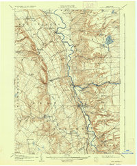
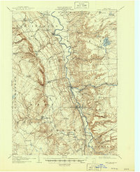
1907 Map of Port Leyden
USGS Topo · Published 1935About this map
The Black River Canal serves as a central artery through this early 20th-century landscape, paralleling the New York Central and Hudson River RR as it threads through the valley. This dual transport corridor supported a concentrated industrial network, visible in the cluster of mills and small settlements like Lyons Falls, Goulds Mill, and Lyonsdale at the confluence of the Black River and Moose River. To the west, the terrain rises sharply toward Welch Hill, where the logging-oriented Glenfield and Western RR snakes into the higher elevations near Whetstone Gulf.
Find a feature on this map
61 named features on this map. Tap any name to fly to it.
Don’t see what you’re looking for? This feature index may not catch every label — zoom into the map to look around manually.
Map Details
Editions of this 1907 Port Leyden Map
6 editions found
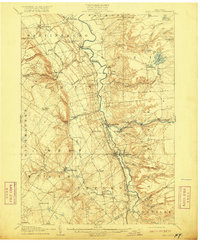
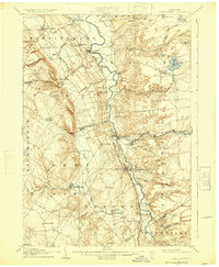
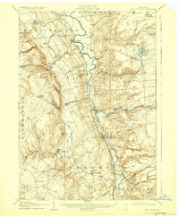
Other maps of this area

1897 · Remsen
USGS Topo · 1:62,500

1900 · Remsen
USGS Topo · 1:62,500

1902 · Carthage
USGS Topo · 1:62,500

1904 · Boonville
USGS Topo · 1:62,500

1904 · Carthage
USGS Topo · 1:62,500

1905 · Port Leyden
USGS Topo · 1:62,500

1905 · Taberg
USGS Topo · 1:62,500

1906 · Highmarket
USGS Topo · 1:62,500

1907 · Port Leyden
USGS Topo · 1:62,500

1911 · Lowville
USGS Topo · 1:62,500