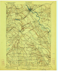
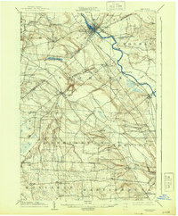
1904 Map of Carthage
USGS Topo · Published 1921About this map
The Black River carves a central path through this northern New York landscape, serving as the industrial and transport spine for communities like Carthage and Castorland. Along its banks and tributaries, the late-nineteenth-century rail infrastructure is prominent, including the N. Y. C. and H. R. R. R. Adirondack Br. and the R. W. and O. Division of the New York Central system. These lines connect the agricultural uplands and timber resources of the Black River Valley to regional markets.
Find a feature on this map
49 named features on this map. Tap any name to fly to it.
Don’t see what you’re looking for? This feature index may not catch every label — zoom into the map to look around manually.
Map Details
Editions of this 1904 Carthage Map
6 editions found
Other maps of this area

1895 · Watertown
USGS Topo · 1:62,500

1898 · Watertown
USGS Topo · 1:62,500

1902 · Carthage
USGS Topo · 1:62,500

1903 · Theresa
USGS Topo · 1:62,500

1903 · Orwell
USGS Topo · 1:62,500

1904 · Carthage
USGS Topo · 1:62,500

1905 · Orwell
USGS Topo · 1:62,500

1905 · Port Leyden
USGS Topo · 1:62,500

1906 · Highmarket
USGS Topo · 1:62,500

1907 · Port Leyden
USGS Topo · 1:62,500