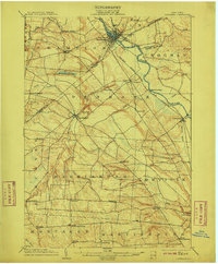
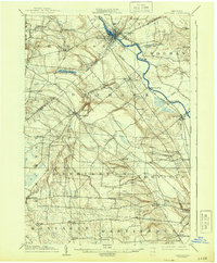
1904 Map of Carthage
USGS Topo · Published 1911About this map
The Black River flows prominently through the heart of the North Country, serving as a focal point for industry and settlement in early twentieth-century New York. At the river's bend, Carthage and West Carthage emerge as significant centers of activity, supported by the New York Central And Hudson River R. R. (R. W. And O. Div.) and the Adirondack branch. The landscape is defined by the transition from river valleys to the surrounding uplands, featuring dramatic drops like High Falls and Kings Falls on the Deer River. Settlement patterns are densely documented across the hills of Jefferson and Lewis counties, revealing numerous small crossroads such as Champion Huddle, Gardners Corners, and Windecker. The southern portion of the map is dominated by the rural townships of Harrisburg and Martinsburg, where a network of local roads connects isolated farmsteads to the larger hub of Lowville.
Find a feature on this map
51 named features on this map. Tap any name to fly to it.
Don’t see what you’re looking for? This feature index may not catch every label — zoom into the map to look around manually.
Map Details
Editions of this 1904 Carthage Map
6 editions found
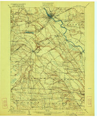
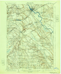
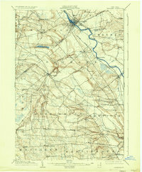
Other maps of this area

1895 · Watertown
USGS Topo · 1:62,500

1898 · Watertown
USGS Topo · 1:62,500

1902 · Carthage
USGS Topo · 1:62,500

1903 · Theresa
USGS Topo · 1:62,500

1903 · Orwell
USGS Topo · 1:62,500

1904 · Carthage
USGS Topo · 1:62,500

1905 · Orwell
USGS Topo · 1:62,500

1905 · Port Leyden
USGS Topo · 1:62,500

1906 · Highmarket
USGS Topo · 1:62,500

1907 · Port Leyden
USGS Topo · 1:62,500