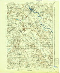
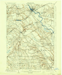
1904 Map of Carthage
USGS Topo · Published 1944About this map
Black River serves as the central artery for this region of Upstate New York, winding between the industrial hubs of Carthage and West Carthage. The 1902 survey details a landscape defined by the intersection of water power and rail transit, with the New York Central and Hudson River railroad tracking the river's path. Further south, the terrain rises toward the Tug Hill plateau, where agricultural hamlets such as Denmark and Copenhagen are perched near the dramatic drops of High Falls and Kings Falls along the Deer River. The map captures a moment when small, remote settlements like Champion Huddle, Gardners Corners, and New Boston remained vital local centers. To the east, the Beaver River joins the Black River near Castorland, illustrating the intricate drainage network that supported the local timber and milling economies at the turn of the century.
Find a feature on this map
50 named features on this map. Tap any name to fly to it.
Don’t see what you’re looking for? This feature index may not catch every label — zoom into the map to look around manually.
Map Details
Editions of this 1904 Carthage Map
6 editions found
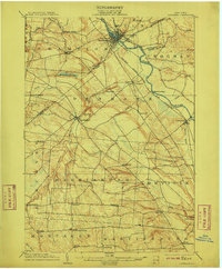
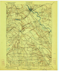
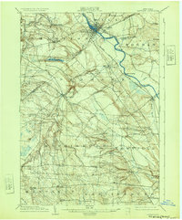
Other maps of this area

1895 · Watertown
USGS Topo · 1:62,500

1898 · Watertown
USGS Topo · 1:62,500

1902 · Carthage
USGS Topo · 1:62,500

1903 · Theresa
USGS Topo · 1:62,500

1903 · Orwell
USGS Topo · 1:62,500

1904 · Carthage
USGS Topo · 1:62,500

1905 · Orwell
USGS Topo · 1:62,500

1905 · Port Leyden
USGS Topo · 1:62,500

1906 · Highmarket
USGS Topo · 1:62,500

1907 · Port Leyden
USGS Topo · 1:62,500