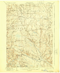
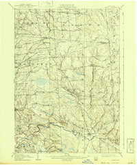
1905 Map of Orwell
USGS Topo · Published 1924About this map
Littlejohn Settlement and the industrial outpost at Otto Mills characterize the Tug Hill plateau's interior during the early 20th century. This area of northern New York, spanning the borders of Jefferson, Oswego, and Lewis counties, shows a landscape defined by its complex hydrology and dispersed hamlets. The Salmon River carves through the southern portion of the quadrangle, punctuated by the dramatic drop at Salmon Falls and the early river crossings at Bennett Bridge.
Find a feature on this map
60 named features on this map. Tap any name to fly to it.
Don’t see what you’re looking for? This feature index may not catch every label — zoom into the map to look around manually.
Map Details
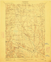
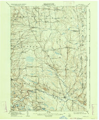
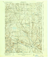
Editions of this 1905 Orwell Map
6 editions found
Other maps of this area

1893 · Sackets Harbor
USGS Topo · 1:62,500

1895 · Sacketts Harbor
USGS Topo · 1:62,500

1895 · Pulaski
USGS Topo · 1:62,500

1895 · Watertown
USGS Topo · 1:62,500

1898 · Watertown
USGS Topo · 1:62,500

1902 · Carthage
USGS Topo · 1:62,500

1903 · Orwell
USGS Topo · 1:62,500

1904 · Carthage
USGS Topo · 1:62,500

1905 · Orwell
USGS Topo · 1:62,500

1905 · Mexico
USGS Topo · 1:62,500