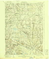
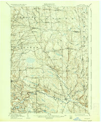
1905 Map of Orwell
USGS Topo · Published 1942About this map
The upper Salmon River basin in the early twentieth century is defined by a network of small upland hamlets and rural industrial sites. The river itself serves as a central anchor, marked by Salmon Falls and the crossing at Bennett Bridge. Settlements like Redfield and Orwell act as local hubs for a landscape crisscrossed by numerous waterways, including Pennock Brook and Beaverdam Brook. The mapping of small, family-associated locales such as Littlejohn Settlement and Otto Mills provides a detailed view of the era's social geography before the consolidation of many Adirondack-fringe communities.
Find a feature on this map
61 named features on this map. Tap any name to fly to it.
Don’t see what you’re looking for? This feature index may not catch every label — zoom into the map to look around manually.
Map Details
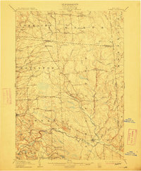
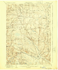
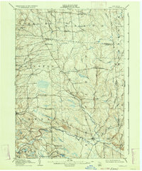
Editions of this 1905 Orwell Map
6 editions found
Other maps of this area

1893 · Sackets Harbor
USGS Topo · 1:62,500

1895 · Sacketts Harbor
USGS Topo · 1:62,500

1895 · Pulaski
USGS Topo · 1:62,500

1895 · Watertown
USGS Topo · 1:62,500

1898 · Watertown
USGS Topo · 1:62,500

1902 · Carthage
USGS Topo · 1:62,500

1903 · Orwell
USGS Topo · 1:62,500

1904 · Carthage
USGS Topo · 1:62,500

1905 · Orwell
USGS Topo · 1:62,500

1905 · Mexico
USGS Topo · 1:62,500