
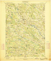
1906 Map of Kasoag
USGS Topo · Published 1906About this map
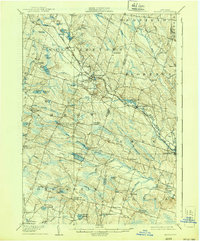
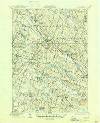
The New York Central and Hudson River RR carves a diagonal path through this rural Oswego County landscape, connecting the railroad village of Kasoag with Williamstown. During this era, the region was defined by a network of small hamlets and namesake corners, such as Amboy Center, Jefferson Corners, and Brockway Corners. The map details a landscape saturated with water, from the significant Panther Lake and Kasoag Lake to smaller, curiously named features like Nigger Pond and Cochran Pond. Near the southern edge, the State Fish Hatchery stands as a notable institutional landmark along the N Y O And W R R. This 1906 edition captures the transition of the Tug Hill plateau foothills from a timber-heavy economy into a matrix of remote farmsteads and rural post offices, many of which are linked by historic thoroughfares like the Salt Road.
Find a feature on this map
69 named features on this map. Tap any name to fly to it.
Don’t see what you’re looking for? This feature index may not catch every label — zoom into the map to look around manually.
Map Details
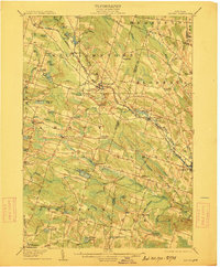
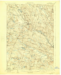
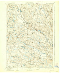
Editions of this 1906 Kasoag Map
7 editions found
Other maps of this area

1895 · Chittenango
USGS Topo · 1:62,500

1895 · Pulaski
USGS Topo · 1:62,500

1895 · Syracuse
USGS Topo · 1:62,500

1895 · Oneida
USGS Topo · 1:62,500

1898 · Oneida
USGS Topo · 1:62,500

1898 · Syracuse
USGS Topo · 1:62,500

1898 · Chittenango
USGS Topo · 1:62,500

1902 · Chittenango
USGS Topo · 1:62,500

1902 · Oneida
USGS Topo · 1:62,500

1903 · Orwell
USGS Topo · 1:62,500