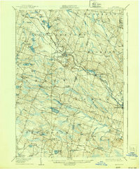
1906 Map of Kasoag
USGS Topo · Published 1939About this map
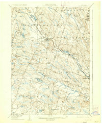
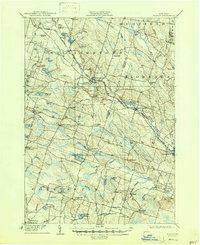
Kasoag and the surrounding woodlands of northern Oswego County define this landscape at the opening of the twentieth century, dominated by a dense network of streams and small glacial ponds. The New York Central and Hudson River Railroad cuts a diagonal path through the terrain, connecting small rural hubs like Williamstown and Ricard. This rail link was vital for the local economy, particularly for moving timber and supporting the specialized State Fish Hatchery located near the southern boundary.
Find a feature on this map
68 named features on this map. Tap any name to fly to it.
Don’t see what you’re looking for? This feature index may not catch every label — zoom into the map to look around manually.
Map Details
Editions of this 1906 Kasoag Map
7 editions found

Other maps of this area

1895 · Chittenango
USGS Topo · 1:62,500

1895 · Pulaski
USGS Topo · 1:62,500

1895 · Syracuse
USGS Topo · 1:62,500

1895 · Oneida
USGS Topo · 1:62,500

1898 · Oneida
USGS Topo · 1:62,500

1898 · Syracuse
USGS Topo · 1:62,500

1898 · Chittenango
USGS Topo · 1:62,500

1902 · Chittenango
USGS Topo · 1:62,500

1902 · Oneida
USGS Topo · 1:62,500

1903 · Orwell
USGS Topo · 1:62,500