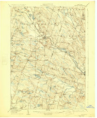
1906 Map of Kasoag
USGS Topo · Published 1925About this map
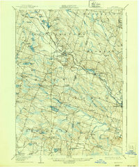
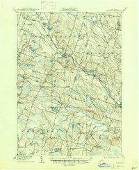
The New York Central and Hudson River Railroad cuts a diagonal path through this upland terrain, connecting the dispersed hamlets of Kasoag and Williamstown during a period of robust rail-dependent commerce. The landscape is defined by its complex hydrology, with numerous small bodies of water like Panther Lake, Kasoag Lake, and Kibby Lake nestled among low hills such as Mud Hill and Maple Hill. These water sources feed into the Little Salmon River and the West Branch Little River, which historically supported local industries and the State Fish Hatchery near the southern boundary.
Find a feature on this map
69 named features on this map. Tap any name to fly to it.
Don’t see what you’re looking for? This feature index may not catch every label — zoom into the map to look around manually.
Map Details
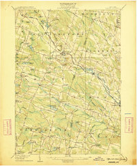
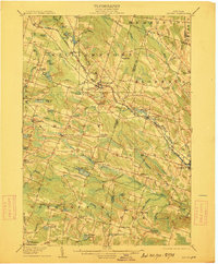
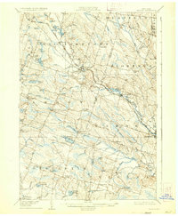
Editions of this 1906 Kasoag Map
7 editions found

Other maps of this area

1895 · Chittenango
USGS Topo · 1:62,500

1895 · Pulaski
USGS Topo · 1:62,500

1895 · Syracuse
USGS Topo · 1:62,500

1895 · Oneida
USGS Topo · 1:62,500

1898 · Oneida
USGS Topo · 1:62,500

1898 · Syracuse
USGS Topo · 1:62,500

1898 · Chittenango
USGS Topo · 1:62,500

1902 · Chittenango
USGS Topo · 1:62,500

1902 · Oneida
USGS Topo · 1:62,500

1903 · Orwell
USGS Topo · 1:62,500