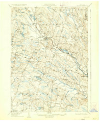
1906 Map of Kasoag
USGS Topo · Published 1933About this map
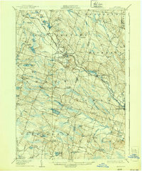
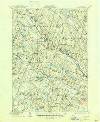
Williamstown and the surrounding townships of Amboy, Florence, and Constantia define this interior landscape of central New York during the early twentieth century. The region is heavily influenced by its hydrology, with a dense network of water bodies such as Panther Lake, Kasoag Lake, and Vandercamp Pond feeding into the Little Salmon River and West Branch Fish Creek. This terrain reflects a transition from early industrial settlements to rural communities, with the New York Central and Hudson River Railroad providing a critical transportation corridor through Kasoag.
Find a feature on this map
64 named features on this map. Tap any name to fly to it.
Don’t see what you’re looking for? This feature index may not catch every label — zoom into the map to look around manually.
Map Details
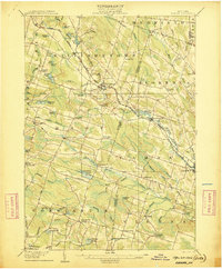
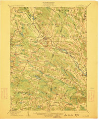
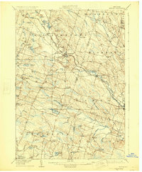
Editions of this 1906 Kasoag Map
7 editions found

Other maps of this area

1895 · Chittenango
USGS Topo · 1:62,500

1895 · Pulaski
USGS Topo · 1:62,500

1895 · Syracuse
USGS Topo · 1:62,500

1895 · Oneida
USGS Topo · 1:62,500

1898 · Oneida
USGS Topo · 1:62,500

1898 · Syracuse
USGS Topo · 1:62,500

1898 · Chittenango
USGS Topo · 1:62,500

1902 · Chittenango
USGS Topo · 1:62,500

1902 · Oneida
USGS Topo · 1:62,500

1903 · Orwell
USGS Topo · 1:62,500