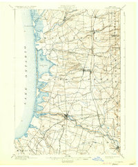
1895 Map of Pulaski
USGS Topo · Published 1933About this map
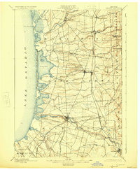
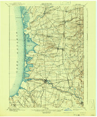
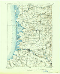
Lake Ontario defines the western edge of this coastal landscape, where the Life Saving Station stands watch over the shifting sands and inlets of North Pond and South Pond. Inland, the settlement pattern reveals a late 19th-century economy tied to the waters of the Salmon River and the extensive rail infrastructure of the Rome Watertown and Ogdensburg R. R. The village of Pulaski serves as a central hub, while smaller hamlets like Pierrepont Manor, Mannsville, and Sand Bank are connected by a network of local roads and rail branches, including the Oswego and Rome Branch. The terrain transitions from the low-lying shoreline near Port Ontario and Selkirk to the rolling hills of Ellisburg and Boylston, drained by numerous waterways such as Little Sandy Creek and Grindstone Creek.
Find a feature on this map
46 named features on this map. Tap any name to fly to it.
Don’t see what you’re looking for? This feature index may not catch every label — zoom into the map to look around manually.
Map Details
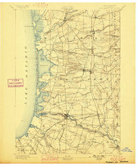
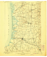
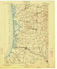
Editions of this 1895 Pulaski Map
8 editions found
Other maps of this area

1893 · Sackets Harbor
USGS Topo · 1:62,500

1895 · Sacketts Harbor
USGS Topo · 1:62,500

1895 · Stony Island
USGS Topo · 1:62,500

1895 · Pulaski
USGS Topo · 1:62,500

1895 · Watertown
USGS Topo · 1:62,500

1898 · Watertown
USGS Topo · 1:62,500

1900 · Fulton
USGS Topo · 1:62,500

1903 · Orwell
USGS Topo · 1:62,500

1905 · Orwell
USGS Topo · 1:62,500

1905 · Mexico
USGS Topo · 1:62,500