Loading...
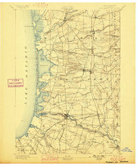
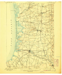
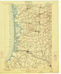
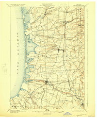
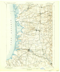
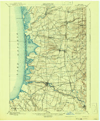
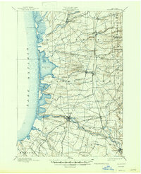
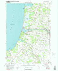
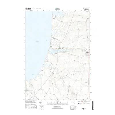
Loading map...1895 Map of Pulaski
USGS Topo · Published 1899About this map
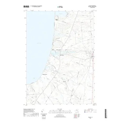
Lake Ontario defines the western edge of this nineteenth-century survey, where the Salmon River meets the coast at Selkirk and Port Ontario. The landscape is dominated by a sophisticated network of late-1800s transportation, centered on the Rome Watertown and Ogdensburg R. R. and the Syracuse Phoenix and New York R. R., which facilitated the movement of goods between interior villages like Richland and Pulaski.
Find a feature on this map
44 named features on this map. Tap any name to fly to it.
Don’t see what you’re looking for? This feature index may not catch every label — zoom into the map to look around manually.
Map Details
Date Portrayed1895
Date Published1899
PublisherU.S. Geological Survey
Map TypeTopographic
Scale1:62,500
Physical Dimensions16.6 x 20.2 inches
Editions of this 1895 Pulaski Map
8 editions found

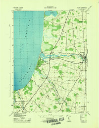
Historical Maps of Richland Through Time
9 maps found

Featured Locations
Source Details
SourceU.S. Geological Survey
CopyrightPublic Domain