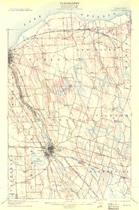
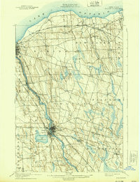
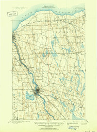
1900 Map of Fulton
USGS Topo · Published 1909About this map
The Oswego River and the parallel Oswego Canal form the industrial and transport backbone of this 1898 survey, depicting a landscape defined by the intersection of water power and rail. At the heart of the region, Fulton and Oswego Falls anchor the riverbank, serving as a concentrated hub of settlement. Numerous railroads, including the New York Ontario and Western R. R. and the New York Central and Hudson River R. R., weave through the interior, connecting smaller agricultural hamlets like Palermo, Volney, and Lycoming. Near the shores of Lake Ontario, the land rises toward Mount Pleasant and drains through systems like Catfish Creek. This era reveals a transition from canal-reliant trade to a complex rail-driven economy, with family-named locations such as Bundy Crossing and Ingalls Crossing marking the vital points where tracks met local roads.
Find a feature on this map
63 named features on this map. Tap any name to fly to it.
Don’t see what you’re looking for? This feature index may not catch every label — zoom into the map to look around manually.
Map Details
Editions of this 1900 Fulton Map
7 editions found
Other maps of this area

1895 · Pulaski
USGS Topo · 1:62,500

1895 · Syracuse
USGS Topo · 1:62,500

1898 · Syracuse
USGS Topo · 1:62,500

1900 · Baldwinsville
USGS Topo · 1:62,500

1900 · Oswego
USGS Topo · 1:62,500

1900 · Fulton
USGS Topo · 1:62,500

1902 · Weedsport
USGS Topo · 1:62,500

1905 · Mexico
USGS Topo · 1:62,500

1940 · Brewerton
USGS Topo · 1:24,000

1943 · Pulaski
USGS Topo · 1:31,680