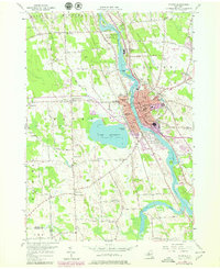
1955 Map of Fulton
USGS Topo · Published 1979About this map
The industrial and civic core of Fulton dominates this mid-century landscape, defined by its position along the Oswego River and the parallel Oswego Canal. The map reveals a dense network of neighborhood education, featuring several localized institutions such as the 4th Street Sch, Erie St Sch, and Phillips St Sch. Surrounding the urban center, the terrain transitions into a patchwork of rural districts and family-named corners, including Granby Center and Lewis Corners, while the western shore of Lake Neatahwanta provides a significant recreational anchor with Stevenson Beach.
Find a feature on this map
85 named features on this map. Tap any name to fly to it.
Don’t see what you’re looking for? This feature index may not catch every label — zoom into the map to look around manually.
Map Details
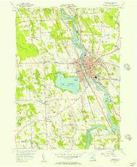
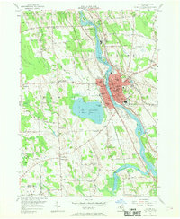
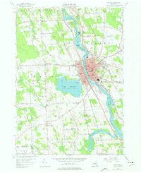
Editions of this 1955 Fulton Map
4 editions found
Other maps of this area

1900 · Baldwinsville
USGS Topo · 1:62,500

1900 · Oswego
USGS Topo · 1:62,500

1900 · Fulton
USGS Topo · 1:62,500

1902 · Weedsport
USGS Topo · 1:62,500

1943 · Oswego East
USGS Topo · 1:31,680

1943 · Lysander
USGS Topo · 1:31,680

1943 · New Haven
USGS Topo · 1:31,680

1943 · Oswego West
USGS Topo · 1:31,680

1943 · Cato
USGS Topo · 1:31,680

1943 · Pennellville
USGS Topo · 1:31,680