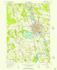
1955 Map of Fulton
USGS Topo · Published 1957About this map
The Oswego River and the adjacent Canal define the industrial and navigational spine of this mid-1950s landscape, flanked by the growing city of Fulton. This period reveals a densely organized urban center where numerous educational institutions like High Sch and State St Sch serve the residential blocks east of Lake Neatahwanta. The western bank is largely characterized by agrarian terrain and small settlements such as Granby Center and Dexterville, while the New York Central and New York Ontario and Western railroads track the river’s path, signaling the era's reliance on rail transport for regional commerce.
Find a feature on this map
79 named features on this map. Tap any name to fly to it.
Don’t see what you’re looking for? This feature index may not catch every label — zoom into the map to look around manually.
Map Details
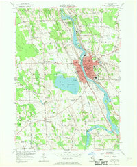
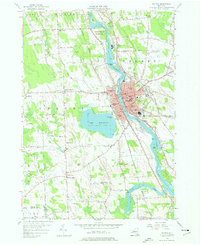
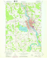
Editions of this 1955 Fulton Map
4 editions found
Other maps of this area

1900 · Baldwinsville
USGS Topo · 1:62,500

1900 · Oswego
USGS Topo · 1:62,500

1900 · Fulton
USGS Topo · 1:62,500

1902 · Weedsport
USGS Topo · 1:62,500

1943 · Oswego East
USGS Topo · 1:31,680

1943 · Lysander
USGS Topo · 1:31,680

1943 · New Haven
USGS Topo · 1:31,680

1943 · Oswego West
USGS Topo · 1:31,680

1943 · Cato
USGS Topo · 1:31,680

1943 · Pennellville
USGS Topo · 1:31,680