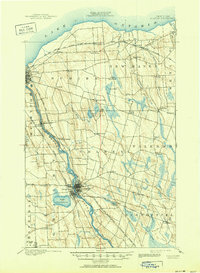
1900 Map of Fulton
USGS Topo · Published 1951About this map
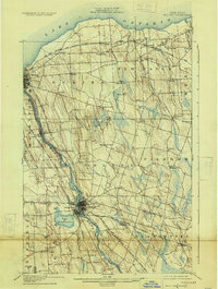
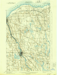
The Oswego River serves as the industrial and transportation spine of this region at the turn of the century, flanked by the Oswego Canal and a dense network of competing rail lines. The twin centers of Fulton and Oswego Falls dominate the central valley, while the northern shoreline meeting Lake Ontario is punctuated by smaller hamlets like Texas and Lycoming.
Find a feature on this map
61 named features on this map. Tap any name to fly to it.
Don’t see what you’re looking for? This feature index may not catch every label — zoom into the map to look around manually.
Map Details
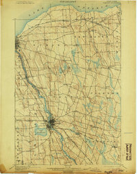
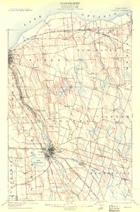
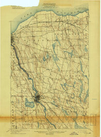
Editions of this 1900 Fulton Map
7 editions found
Other maps of this area

1895 · Pulaski
USGS Topo · 1:62,500

1895 · Syracuse
USGS Topo · 1:62,500

1898 · Syracuse
USGS Topo · 1:62,500

1900 · Baldwinsville
USGS Topo · 1:62,500

1900 · Oswego
USGS Topo · 1:62,500

1900 · Fulton
USGS Topo · 1:62,500

1902 · Weedsport
USGS Topo · 1:62,500

1905 · Mexico
USGS Topo · 1:62,500

1940 · Brewerton
USGS Topo · 1:24,000

1943 · Pulaski
USGS Topo · 1:31,680