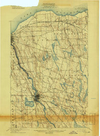
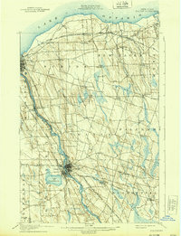
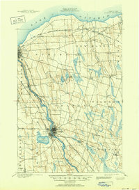
1900 Map of Fulton
USGS Topo · Published 1918About this map
The Oswego River serves as the industrial and navigational spine of this turn-of-the-century landscape, flanked by the vital Oswego Canal and a dense network of competing rail lines. At the center of this corridor, Fulton and Oswego Falls appear as concentrated hubs of activity, where the river's power and the intersection of the New York Ontario and Western R. R. meet. To the west, Lake Neatahwanta provides a prominent natural landmark near the edge of the Hannibal boundary.
Find a feature on this map
59 named features on this map. Tap any name to fly to it.
Don’t see what you’re looking for? This feature index may not catch every label — zoom into the map to look around manually.
Map Details
Editions of this 1900 Fulton Map
7 editions found
Other maps of this area

1895 · Pulaski
USGS Topo · 1:62,500

1895 · Syracuse
USGS Topo · 1:62,500

1898 · Syracuse
USGS Topo · 1:62,500

1900 · Baldwinsville
USGS Topo · 1:62,500

1900 · Oswego
USGS Topo · 1:62,500

1900 · Fulton
USGS Topo · 1:62,500

1902 · Weedsport
USGS Topo · 1:62,500

1905 · Mexico
USGS Topo · 1:62,500

1940 · Brewerton
USGS Topo · 1:24,000

1943 · Pulaski
USGS Topo · 1:31,680