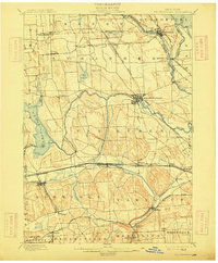
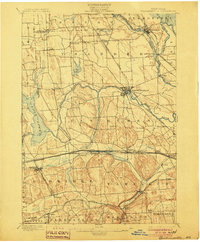
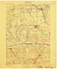
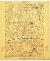
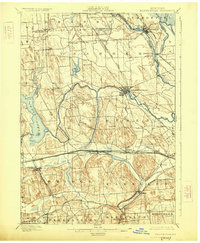
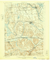
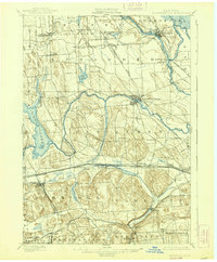
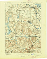
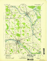
1900 Map of Baldwinsville
USGS Topo · Published 1915About this map
Erie Canal navigation and a dense network of steam railroads define this turn-of-the-century Central New York landscape. The confluence of the Oswego River, Oneida River, and Seneca River at Three River Point anchors the northern region, supporting industrial centers like Phoenix and Baldwinsville. The terrain is marked by the distinct drumlin field south of the Seneca, where the New York Central and Hudson River RR and West Shore and Buffalo RR parallel the canal corridor.
Find a feature on this map
62 named features on this map. Tap any name to fly to it.
Don’t see what you’re looking for? This feature index may not catch every label — zoom into the map to look around manually.
Map Details
Editions of this 1900 Baldwinsville Map
9 editions found

Historical Maps of Clay Through Time
11 maps found
1900 Baldwinsville
Onondaga County, NY
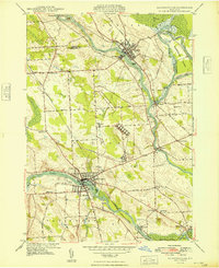
1943 Baldwinsville
Onondaga County, NY
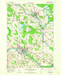
1948 Baldwinsville
Onondaga County, NY

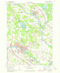
1957 Baldwinsville
Onondaga County, NY
1957 Baldwinsville
Onondaga County, NY
1973 Baldwinsville
Onondaga County, NY
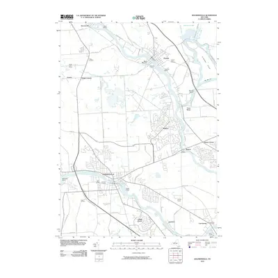
2010 Baldwinsville
Onondaga County, NY
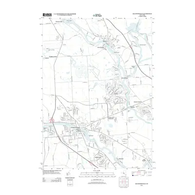
2013 Baldwinsville
Onondaga County, NY
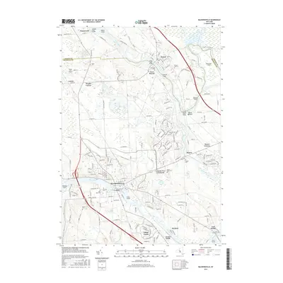
2016 Baldwinsville
Onondaga County, NY
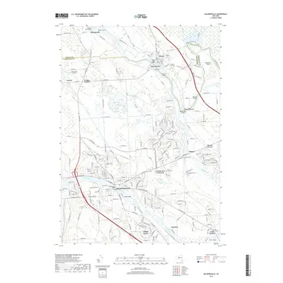
2019 Baldwinsville
Onondaga County, NY

2023 Baldwinsville
Onondaga County, NY