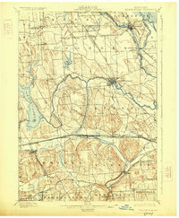
1900 Map of Baldwinsville
USGS Topo · Published 1925About this map
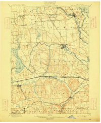
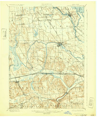
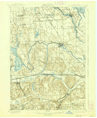
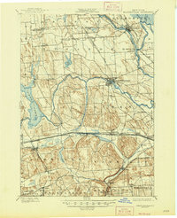
The Erie Canal and Seneca River define the central transport corridors of this late nineteenth-century landscape, where water power and navigation spurred the growth of industrial hubs like Baldwinsville and Phoenix. The map reveals a complex network of competing transportation technologies, including the West Shore and Buffalo and the New York Central and Hudson River railroads, which parallel the historic canal.
Find a feature on this map
55 named features on this map. Tap any name to fly to it.
Don’t see what you’re looking for? This feature index may not catch every label — zoom into the map to look around manually.
Map Details
Editions of this 1900 Baldwinsville Map
9 editions found
Other maps of this area

1895 · Syracuse
USGS Topo · 1:62,500

1898 · Syracuse
USGS Topo · 1:62,500

1899 · Auburn
USGS Topo · 1:62,500

1899 · Skaneateles
USGS Topo · 1:62,500

1900 · Baldwinsville
USGS Topo · 1:62,500

1900 · Tully
USGS Topo · 1:62,500

1900 · Oswego
USGS Topo · 1:62,500

1900 · Fulton
USGS Topo · 1:62,500

1902 · Skaneateles
USGS Topo · 1:62,500

1902 · Weedsport
USGS Topo · 1:62,500