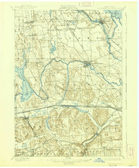
1900 Map of Baldwinsville
USGS Topo · Published 1938About this map
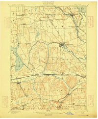
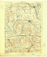
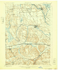
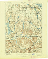
The confluence of the Seneca River, Oneida River, and Oswego River at Three River Point forms the central hydrologic feature of this Onondaga County landscape at the turn of the century. This complex network of waterways, augmented by the Erie Canal in the south and the State Ditch near Jacks Reef, reflects a region defined by its 19th-century transport infrastructure. Settlement patterns follow these water routes and the expanding rail lines, including the New York Central and Hudson River Railroad and the West Shore and Buffalo Railroad.
Find a feature on this map
54 named features on this map. Tap any name to fly to it.
Don’t see what you’re looking for? This feature index may not catch every label — zoom into the map to look around manually.
Map Details
Editions of this 1900 Baldwinsville Map
9 editions found
Other maps of this area

1895 · Syracuse
USGS Topo · 1:62,500

1898 · Syracuse
USGS Topo · 1:62,500

1899 · Auburn
USGS Topo · 1:62,500

1899 · Skaneateles
USGS Topo · 1:62,500

1900 · Baldwinsville
USGS Topo · 1:62,500

1900 · Tully
USGS Topo · 1:62,500

1900 · Oswego
USGS Topo · 1:62,500

1900 · Fulton
USGS Topo · 1:62,500

1902 · Skaneateles
USGS Topo · 1:62,500

1902 · Weedsport
USGS Topo · 1:62,500