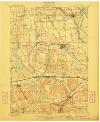
1900 Map of Baldwinsville
USGS Topo · Published 1910About this map
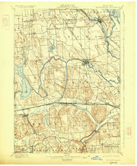
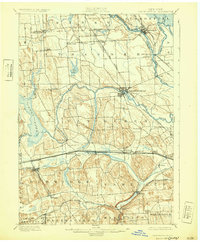
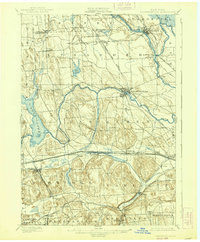
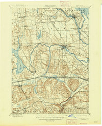
The Erie Canal cuts through the southern portion of this landscape, serving as a vital industrial artery near Jordan and Camillus at the turn of the century. This era finds the region at its transportation peak, where the canal's path runs nearly parallel to the New York Central and Hudson River R.R. and the West Shore R.R.. To the north, the convergence of the Oneida River and Seneca River at Three River Point forms the Oswego River, anchoring the settlement of Phoenix. The topography is defined by the drumlin fields around Sorrel Hill, which dictate the winding paths of rural roads and the placement of hamlets like Lysander and Plainville. From the mills at Marcellus Falls to the sprawling waters of Cross Lake, the map documents a complex network of water-powered industry and rail-dependent trade.
Find a feature on this map
56 named features on this map. Tap any name to fly to it.
Don’t see what you’re looking for? This feature index may not catch every label — zoom into the map to look around manually.
Map Details
Editions of this 1900 Baldwinsville Map
9 editions found
Other maps of this area

1895 · Syracuse
USGS Topo · 1:62,500

1898 · Syracuse
USGS Topo · 1:62,500

1899 · Auburn
USGS Topo · 1:62,500

1899 · Skaneateles
USGS Topo · 1:62,500

1900 · Baldwinsville
USGS Topo · 1:62,500

1900 · Tully
USGS Topo · 1:62,500

1900 · Oswego
USGS Topo · 1:62,500

1900 · Fulton
USGS Topo · 1:62,500

1902 · Skaneateles
USGS Topo · 1:62,500

1902 · Weedsport
USGS Topo · 1:62,500