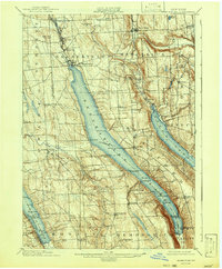
1902 Map of Skaneateles
USGS Topo · Published 1942About this map
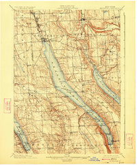
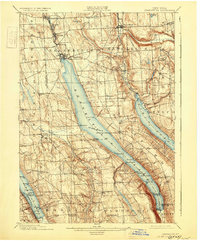
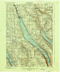
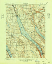
Skaneateles Lake and Otisco Lake dominate this Finger Lakes landscape, captured during a period when water-borne transportation was central to the region's economy. The map reveals a distinct Steamboat Route traversing the length of the lake from the village of Skaneateles down to the resort landing at Glen Haven. This maritime corridor connected several points along the shore, including Borodino Landing and Spafford Landing, serving as a vital link between the upland farming communities and the commercial centers to the north.
Find a feature on this map
69 named features on this map. Tap any name to fly to it.
Don’t see what you’re looking for? This feature index may not catch every label — zoom into the map to look around manually.
Map Details
Editions of this 1902 Skaneateles Map
9 editions found
Other maps of this area

1895 · Syracuse
USGS Topo · 1:62,500

1898 · Syracuse
USGS Topo · 1:62,500

1898 · Moravia
USGS Topo · 1:62,500

1899 · Auburn
USGS Topo · 1:62,500

1899 · Skaneateles
USGS Topo · 1:62,500

1900 · Baldwinsville
USGS Topo · 1:62,500

1900 · Tully
USGS Topo · 1:62,500

1902 · Skaneateles
USGS Topo · 1:62,500

1902 · Moravia
USGS Topo · 1:62,500

1902 · Genoa
USGS Topo · 1:62,500