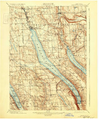
1902 Map of Skaneateles
USGS Topo · Published 1931About this map
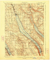
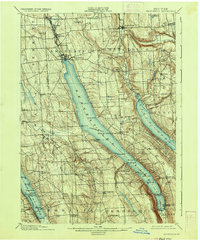
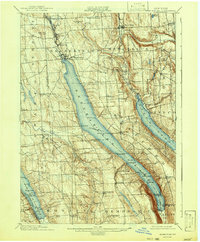
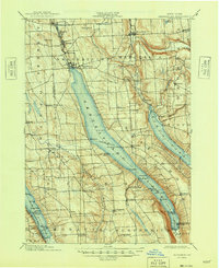
Skaneateles Lake dominates this Finger Lakes landscape, where a defined Steamboat Route underscores the importance of water travel at the turn of the century. The map illustrates a bustling lake-dependent economy, from the northern industrial corridor of Skaneateles Falls, Mottville, and Willow Glen to the southern recreation and transport nodes at Borodino Landing and Spafford Landing. Significant elevation drops are captured at Carpenter Falls and Glen Haven, where the terrain steeply descends into the deep lake basins.
Find a feature on this map
72 named features on this map. Tap any name to fly to it.
Don’t see what you’re looking for? This feature index may not catch every label — zoom into the map to look around manually.
Map Details
Editions of this 1902 Skaneateles Map
9 editions found
Other maps of this area

1895 · Syracuse
USGS Topo · 1:62,500

1898 · Syracuse
USGS Topo · 1:62,500

1898 · Moravia
USGS Topo · 1:62,500

1899 · Auburn
USGS Topo · 1:62,500

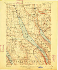
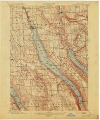
1899 · Skaneateles
USGS Topo · 1:62,500

1900 · Baldwinsville
USGS Topo · 1:62,500

1900 · Tully
USGS Topo · 1:62,500

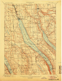
1902 · Skaneateles
USGS Topo · 1:62,500

1902 · Moravia
USGS Topo · 1:62,500

1902 · Genoa
USGS Topo · 1:62,500