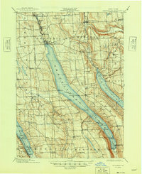
1902 Map of Skaneateles
USGS Topo · Published 1948About this map
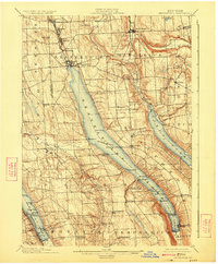
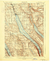
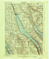
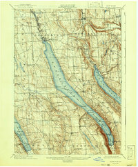
Skaneateles Lake and its deep glacial valley dominate this late 19th-century landscape, serving as a vital transport corridor before the dominance of modern highways. The presence of the Steamboat Route connecting the village of Skaneateles to remote landings like Borodino Landing and Gregory Ldg. illustrates a time when the water was the primary highway for local commerce and travel. Along Skaneateles Creek, a string of industrial hamlets including Skaneateles Falls, Mottville, and Willow Glen shows how the lake's outflow powered early Finger Lakes manufacturing.
Find a feature on this map
77 named features on this map. Tap any name to fly to it.
Don’t see what you’re looking for? This feature index may not catch every label — zoom into the map to look around manually.
Map Details
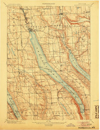
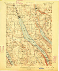
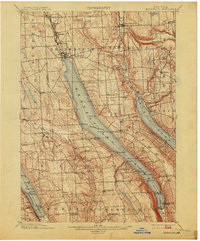
Editions of this 1902 Skaneateles Map
9 editions found
Other maps of this area

1895 · Syracuse
USGS Topo · 1:62,500

1898 · Syracuse
USGS Topo · 1:62,500

1898 · Moravia
USGS Topo · 1:62,500

1899 · Auburn
USGS Topo · 1:62,500

1899 · Skaneateles
USGS Topo · 1:62,500

1900 · Baldwinsville
USGS Topo · 1:62,500

1900 · Tully
USGS Topo · 1:62,500

1902 · Skaneateles
USGS Topo · 1:62,500

1902 · Moravia
USGS Topo · 1:62,500

1902 · Genoa
USGS Topo · 1:62,500