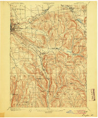
1900 Map of Dryden
USGS Topo · Published 1904About this map
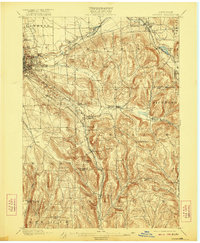
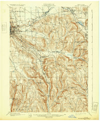
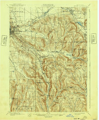
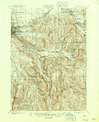
Cornell University overlooks the growing city of Ithaca in this late nineteenth-century landscape, where a dense network of iron rails connected the Finger Lakes region to the broader commerce of New York. The topography is defined by the steep descent of Fall Creek and Casca dilla Creek toward the Cayuga basin, while the interior is dotted with rural hamlets such as Slaterville Springs and Caroline Center.
Find a feature on this map
54 named features on this map. Tap any name to fly to it.
Don’t see what you’re looking for? This feature index may not catch every label — zoom into the map to look around manually.
Map Details
Editions of this 1900 Dryden Map
9 editions found
Other maps of this area

1893 · Ithaca
USGS Topo · 1:62,500

1895 · Ithaca
USGS Topo · 1:62,500

1898 · Moravia
USGS Topo · 1:62,500

1900 · Dryden
USGS Topo · 1:62,500

1901 · Apalachin
USGS Topo · 1:62,500

1902 · Waverly
USGS Topo · 1:62,500

1902 · Moravia
USGS Topo · 1:62,500

1902 · Genoa
USGS Topo · 1:62,500

1903 · Cortland
USGS Topo · 1:62,500

1903 · Owego
USGS Topo · 1:62,500