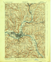
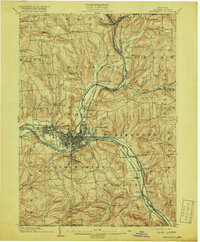
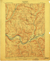
1904 Map of Binghamton
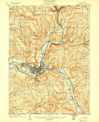
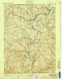
USGS Topo · Published 1931About this map
Binghamton sits at the vital confluence of the Susquehanna River and the Chenango River, serving as a major railroad and industrial hub at the turn of the century. The city's growth is evident in the dense street grids and the sprawling footprint of Lestershire to the west. This era was defined by intensive rail connectivity, with the Erie Railroad, the Delaware Lackawanna and Western RR, and the Erie Electric lines all converging in the valley. Beyond the urban core, the landscape transitions into a series of smaller hamlets and rural townships such as Dickinson and Conklin. Public institutions like the Hospital and recreational spaces like Ross Park appear as established landmarks, while the surrounding hills are dotted with family-named settlements like Osborne and New Ireland, reflecting the early 20th-century social fabric of Broome County.
Find a feature on this map
67 named features on this map. Tap any name to fly to it.
Don’t see what you’re looking for? This feature index may not catch every label — zoom into the map to look around manually.
Map Details
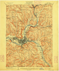
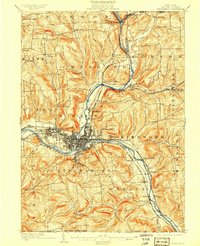
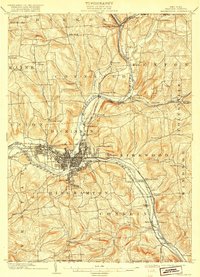
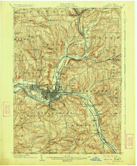
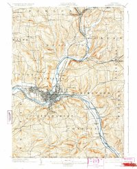
Editions of this 1904 Binghamton Map
9 editions found
Other maps of this area

1901 · Apalachin
USGS Topo · 1:62,500

1902 · Coventry
USGS Topo · 1:62,500

1903 · Harford
USGS Topo · 1:62,500

1904 · Binghamton
USGS Topo · 1:62,500

1904 · Greene
USGS Topo · 1:62,500

1904 · Oxford
USGS Topo · 1:62,500
1904 · Apalachin
USGS Topo · 1:62,500
1905 · Nineveh
USGS Topo · 1:62,500

1906 · Catatonk
USGS Topo · 1:125,000

1932 · Susquehanna
USGS Topo · 1:62,500