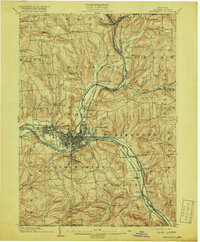
1904 Map of Binghamton
USGS Topo · Published 1918About this map
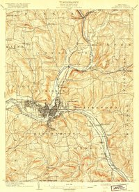
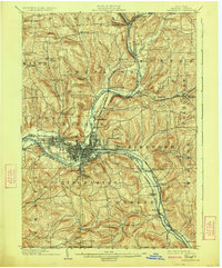
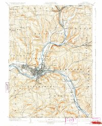
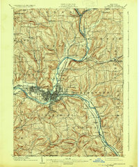
Binghamton and its surrounding townships sit at the industrial and geographical confluence of the Susquehanna River and the Chenango River at the turn of the century. The city core is a dense grid of development, anchored by a prominent Hospital and Ross Park to the south. Transportation is the lifeblood of this era, dominated by a complex web of rail lines including the Delaware Lackawanna and Western Railroad and the Erie Electric Railroad, which connect the urban center to industrial suburbs like Lestershire and Port Dickinson. Beyond the city, the landscape transitions into a series of creek valleys and ridges, where smaller settlements like Sanitaria Springs, New Ireland, and Conklin maintain their distinct identities along the riverbanks and winding brooks. This 1904 survey, reprinted after the Great War, documents the region's height as a major rail hub and manufacturing center in Broome County.
Find a feature on this map
69 named features on this map. Tap any name to fly to it.
Don’t see what you’re looking for? This feature index may not catch every label — zoom into the map to look around manually.
Map Details
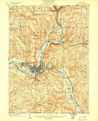
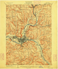
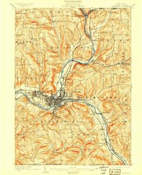
Editions of this 1904 Binghamton Map
9 editions found
Other maps of this area

1901 · Apalachin
USGS Topo · 1:62,500

1902 · Coventry
USGS Topo · 1:62,500

1903 · Harford
USGS Topo · 1:62,500

1904 · Binghamton
USGS Topo · 1:62,500

1904 · Greene
USGS Topo · 1:62,500

1904 · Oxford
USGS Topo · 1:62,500

1904 · Apalachin
USGS Topo · 1:62,500

1905 · Nineveh
USGS Topo · 1:62,500

1906 · Catatonk
USGS Topo · 1:125,000

1932 · Susquehanna
USGS Topo · 1:62,500