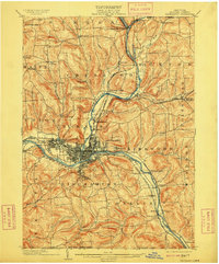
1904 Map of Binghamton
USGS Topo · Published 1909About this map
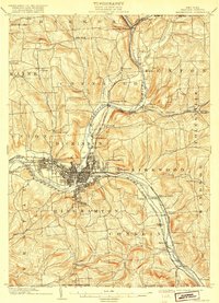
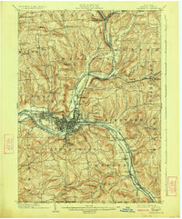
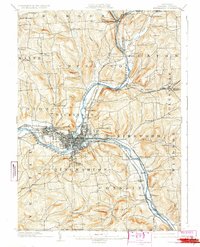
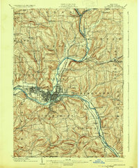
The confluence of the Chenango River and the Susquehanna River anchors this 1904 survey of Broome County, New York. This era shows Binghamton at a peak of industrial development, with a dense network of transit infrastructure including the Delaware and Hudson RR and the D. L. and W. RR converging on the city. To the west, the growing industrial village of Lestershire (later known as Johnson City) appears just before its mid-century expansion. The map captures a landscape defined by sharp elevation changes, where small rural pockets like Sanitaria Springs and Chenango Forks sit in the valleys of tributary waters like Page Brook and Kattel Creek. Notable civic sites, such as the Hospital on the eastern heights and Ross Park to the south, indicate the urban planning and public health priorities of the early 1900s.
Find a feature on this map
71 named features on this map. Tap any name to fly to it.
Don’t see what you’re looking for? This feature index may not catch every label — zoom into the map to look around manually.
Map Details
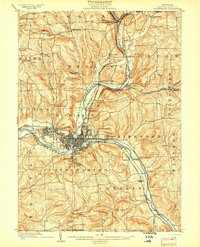
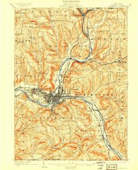
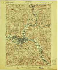
Editions of this 1904 Binghamton Map
9 editions found
Other maps of this area

1901 · Apalachin
USGS Topo · 1:62,500

1902 · Coventry
USGS Topo · 1:62,500

1903 · Harford
USGS Topo · 1:62,500

1904 · Binghamton
USGS Topo · 1:62,500

1904 · Greene
USGS Topo · 1:62,500

1904 · Oxford
USGS Topo · 1:62,500

1904 · Apalachin
USGS Topo · 1:62,500

1905 · Nineveh
USGS Topo · 1:62,500

1906 · Catatonk
USGS Topo · 1:125,000

1932 · Susquehanna
USGS Topo · 1:62,500