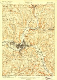
1904 Map of Binghamton
USGS Topo · Published 1918About this map
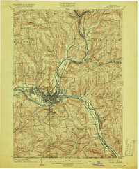
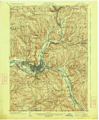
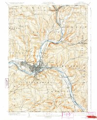
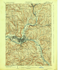
The confluence of the Chenango River and the Susquehanna River anchors this regional study, which captures the industrial and transportation hub of Binghamton during a period of significant rail expansion. The city is a dense grid of development surrounded by satellite communities like Lestershire and Port Dickinson. The dominance of the railroad economy is evident in the multiple lines converging on the valley, including the Erie Railroad and the Delaware Lackawanna and Western Railroad.
Find a feature on this map
72 named features on this map. Tap any name to fly to it.
Don’t see what you’re looking for? This feature index may not catch every label — zoom into the map to look around manually.
Map Details
Editions of this 1904 Binghamton Map
9 editions found
Other maps of this area

1901 · Apalachin
USGS Topo · 1:62,500

1902 · Coventry
USGS Topo · 1:62,500

1903 · Harford
USGS Topo · 1:62,500

1904 · Binghamton
USGS Topo · 1:62,500

1904 · Greene
USGS Topo · 1:62,500

1904 · Oxford
USGS Topo · 1:62,500

1904 · Apalachin
USGS Topo · 1:62,500

1905 · Nineveh
USGS Topo · 1:62,500

1906 · Catatonk
USGS Topo · 1:125,000

1932 · Susquehanna
USGS Topo · 1:62,500