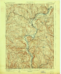
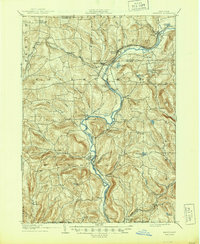
1905 Map of Nineveh
USGS Topo · Published 1928About this map
The Susquehanna River carves a winding path through this rural landscape at the turn of the century, serving as the primary geographic axis for the settlements of Nineveh, Harpursville, and Windsor. The transportation infrastructure of the era is dominated by the Delaware and Hudson railroad, which follows the river valley and creates critical hubs at Nineveh Junction and Harpursville Sta. Small, localized communities such as Vallonia Springs, Doraville, and Bettisburg dot the upland terrain, often situated near the numerous tributaries like Tuscarora Creek and Onaguaga Creek. This 1905 survey, based on field work from 1902-1903, shows a well-established network of wagon roads connecting isolated hamlets like North Colesville and Cascade Valley before the modernization of the state highway system. For local historians, the map preserves the location of many vanished or renamed places, including New Ohio and Occanum, while documenting the exact boundaries of the New York Pennsylvania state line.
Find a feature on this map
66 named features on this map. Tap any name to fly to it.
Don’t see what you’re looking for? This feature index may not catch every label — zoom into the map to look around manually.
Map Details
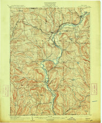
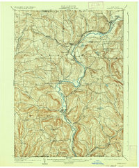
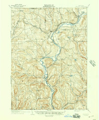
Editions of this 1905 Nineveh Map
6 editions found
Other maps of this area

1902 · Coventry
USGS Topo · 1:62,500

1904 · Binghamton
USGS Topo · 1:62,500

1904 · Greene
USGS Topo · 1:62,500

1904 · Oxford
USGS Topo · 1:62,500

1905 · Nineveh
USGS Topo · 1:62,500

1915 · Unadilla
USGS Topo · 1:62,500

1918 · Unadilla
USGS Topo · 1:62,500

1924 · Starrucca
USGS Topo · 1:48,000

1924 · Deposit
USGS Topo · 1:62,500

1926 · Deposit
USGS Topo · 1:62,500