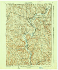
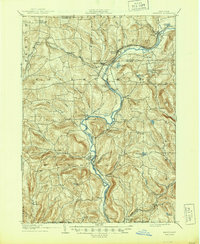
1905 Map of Nineveh
USGS Topo · Published 1936About this map
The Susquehanna River carves a deep, winding path through Broome County, serving as the primary corridor for both early commerce and industrial transport. At the start of the 20th century, this region was a critical node in the Northeast rail network, anchored by the Delaware and Hudson RR and the Susquehanna Division. The topography is defined by steep, serrated hills rising from the valley floor, where small hamlets like Harpursville and Center Village cling to the riverbanks. To the west, the village of Tunnel signifies the engineering efforts required to navigate this landscape. The map also captures several upland ponds and springs, such as Vallonia Springs and Pickerel Pond, which provided reliable water sources for the rural agricultural communities and early summer resorts dotting the heights above the river. Near the southern border, the terrain reaches toward Mt. Carmel, eventually meeting the State Line with Pennsylvania.
Find a feature on this map
63 named features on this map. Tap any name to fly to it.
Don’t see what you’re looking for? This feature index may not catch every label — zoom into the map to look around manually.
Map Details
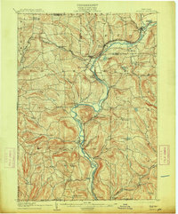
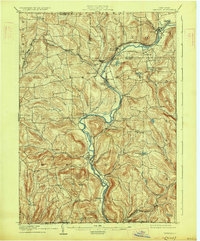
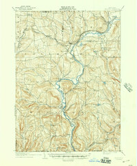
Editions of this 1905 Nineveh Map
6 editions found
Other maps of this area

1902 · Coventry
USGS Topo · 1:62,500

1904 · Binghamton
USGS Topo · 1:62,500

1904 · Greene
USGS Topo · 1:62,500

1904 · Oxford
USGS Topo · 1:62,500

1905 · Nineveh
USGS Topo · 1:62,500

1915 · Unadilla
USGS Topo · 1:62,500

1918 · Unadilla
USGS Topo · 1:62,500

1924 · Starrucca
USGS Topo · 1:48,000

1924 · Deposit
USGS Topo · 1:62,500

1926 · Deposit
USGS Topo · 1:62,500