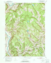
1952 Map of Gulf Summit
USGS Topo · Published 1988About this map
The Susquehanna River defines the western edge of this mid-century survey, winding through Broome County near the Pennsylvania State Line. The landscape is marked by the heavy infrastructure of the era's regional rail network, with the Delaware and Hudson following the river corridor while the Erie railroad traverses the southern terrain through the settlement of Gulf Summit. This community serves as a local focal point, anchored by the Gulf Summit Ch and a nearby cemetery.
Find a feature on this map
28 named features on this map. Tap any name to fly to it.
Don’t see what you’re looking for? This feature index may not catch every label — zoom into the map to look around manually.
Map Details
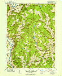
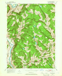
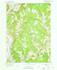
Editions of this 1952 Gulf Summit Map
4 editions found
Other maps of this area

1905 · Nineveh
USGS Topo · 1:62,500

1924 · Starrucca
USGS Topo · 1:48,000

1924 · Deposit
USGS Topo · 1:62,500

1926 · Deposit
USGS Topo · 1:62,500

1926 · Starrucca
USGS Topo · 1:62,500

1930 · Starrucca
USGS Topo · 1:48,000

1932 · Susquehanna
USGS Topo · 1:62,500

1933 · Starrucca
USGS Topo · 1:62,500

1935 · Susquehanna
USGS Topo · 1:62,500

1943 · Honesdale
USGS Topo · 1:125,000