
1933 Map of Starrucca
USGS Topo · Published 1933About this map
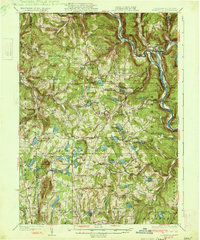
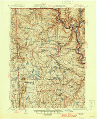
The Erie Railroad and the New York Ontario and Western Railway define the transit corridors of this northern Pennsylvania borderland during the early 1930s. The landscape is dotted with small agricultural settlements and crossroads such as Gardiners Corners, Poyntelle, and Lakewood. Water dominates the terrain, from the Delaware River flowing along the eastern edge to a dense collection of upland lakes including Lake Como, Starlight Lake, and Shehawken Lake.
Find a feature on this map
117 named features on this map. Tap any name to fly to it.
Don’t see what you’re looking for? This feature index may not catch every label — zoom into the map to look around manually.
Map Details
Editions of this 1933 Starrucca Map
3 editions found
Other maps of this area

1892 · Honesdale
USGS Topo · 1:62,500

1892 · Dundaff
USGS Topo · 1:62,500

1905 · Nineveh
USGS Topo · 1:62,500

1920 · Long Eddy
USGS Topo · 1:62,500

1920 · Damascus
USGS Topo · 1:62,500

1921 · Long Eddy
USGS Topo · 1:48,000

1923 · Damascus
USGS Topo · 1:62,500

1923 · Long Eddy
USGS Topo · 1:62,500

1923 · Walton
USGS Topo · 1:48,000

1924 · Starrucca
USGS Topo · 1:48,000