
1923 Map of Damascus
USGS Topo · Published 1923About this map
Damascus and the surrounding river valley define this 1923 landscape as it straddles the border between Pennsylvania and New York. The Delaware River serves as a central artery, flanked by the Erie railroad and small railside communities like Narrowsburg and Milanville. The topography is dense with small ponds and lakes, from Duck Harbor Pond in the northwest to Welcome Lake further south, suggesting a region shaped by both its water resources and rugged timberlands.
Find a feature on this map
101 named features on this map. Tap any name to fly to it.
Don’t see what you’re looking for? This feature index may not catch every label — zoom into the map to look around manually.
Map Details
Editions of this 1923 Damascus Map
5 editions found
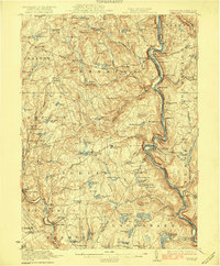
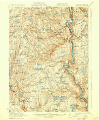
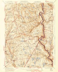
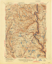
Other maps of this area

1892 · Honesdale
USGS Topo · 1:62,500

1913 · Milford
USGS Topo · 1:62,500

1915 · Milford
USGS Topo · 1:62,500

1920 · Long Eddy
USGS Topo · 1:62,500

1920 · Damascus
USGS Topo · 1:62,500

1921 · Long Eddy
USGS Topo · 1:48,000

1921 · Livingston Manor
USGS Topo · 1:62,500

1922 · White Lake
USGS Topo · 1:62,500

1923 · Long Eddy
USGS Topo · 1:62,500

1923 · Livingston Manor
USGS Topo · 1:62,500