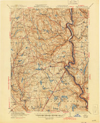
1923 Map of Damascus
USGS Topo · Published 1944About this map
The Erie Railroad tracks hug the winding banks of the Delaware River in this early 20th-century survey, which documents the borderlands of Wayne and Pike counties in Pennsylvania and Sullivan County in New York. The landscape is defined by its small, scattered agricultural and milling settlements such as Boyds Mills, White Mills, and Milanville. Local industrial infrastructure is visible at the Oil Pumping Station and along the various creeks that feed into the Delaware.
Find a feature on this map
120 named features on this map. Tap any name to fly to it.
Don’t see what you’re looking for? This feature index may not catch every label — zoom into the map to look around manually.
Map Details
Editions of this 1923 Damascus Map
5 editions found
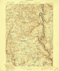
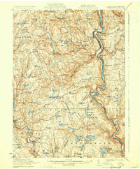
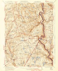
Other maps of this area

1892 · Honesdale
USGS Topo · 1:62,500

1913 · Milford
USGS Topo · 1:62,500

1915 · Milford
USGS Topo · 1:62,500

1920 · Long Eddy
USGS Topo · 1:62,500

1920 · Damascus
USGS Topo · 1:62,500

1921 · Long Eddy
USGS Topo · 1:48,000

1921 · Livingston Manor
USGS Topo · 1:62,500

1922 · White Lake
USGS Topo · 1:62,500

1923 · Damascus
USGS Topo · 1:62,500

1923 · Long Eddy
USGS Topo · 1:62,500