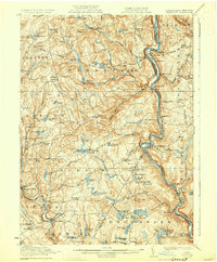
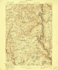
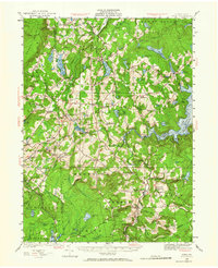
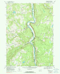
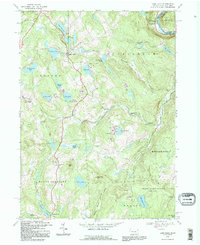
1923 Map of Damascus
USGS Topo · Published 1930About this map
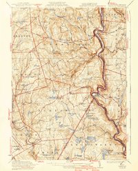
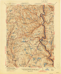
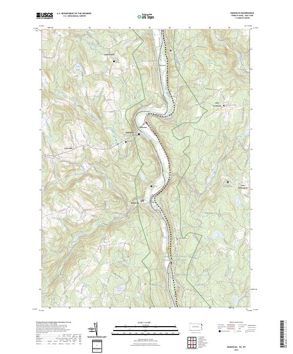
Damascus and the winding course of the upper Delaware River define this borderland region during the early 1920s. The landscape is dotted with small agricultural settlements like Galilee, Tyler Hill, and Milanville, each supported by a network of rural schoolhouses such as School No 1 and the Burchee School. This era reflects a transition in energy and transport, evidenced by the Erie Railroad following the riverbanks alongside an Oil Pumping Station and the State Highway pushing through the hills of Wayne Co and Pike Co.
Find a feature on this map
123 named features on this map. Tap any name to fly to it.
Don’t see what you’re looking for? This feature index may not catch every label — zoom into the map to look around manually.
Map Details
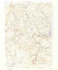
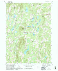
Editions of this 1923 Damascus Map
5 editions found

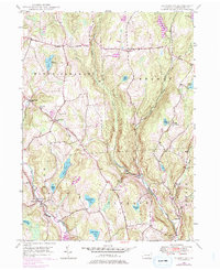
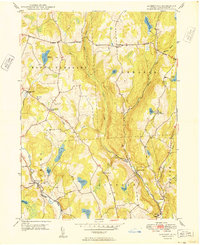
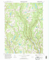
Historical Maps of Lackawaxen Township Through Time
31 maps found

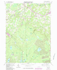
1920 Damascus
Wayne County, PA
1923 Damascus
Wayne County, PA
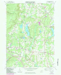
1928 Ariel
Wayne County, PA
1932 Ariel
Wayne County, PA

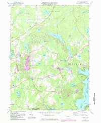
1944 Damascus
Wayne County, PA
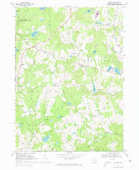
1946 Aldenville
Wayne County, PA
1949 Aldenville
Wayne County, PA
1965 Sterling
Wayne County, PA
1966 Lake Ariel
Wayne County, PA
1966 Lakeville
Wayne County, PA
1967 Galilee
Wayne County, PA
1968 Damascus
Wayne County, PA
1968 Lake Como
Wayne County, PA
1968 Orson
Wayne County, PA
1992 Galilee
Wayne County, PA
1992 Lake Como
Wayne County, PA
1992 Orson
Wayne County, PA

1993 Damascus
Wayne County, PA
1994 Aldenville
Wayne County, PA

1994 Lake Ariel
Wayne County, PA

1994 Lakeville
Wayne County, PA

1994 Sterling
Wayne County, PA

1997 Sterling
Wayne County, PA
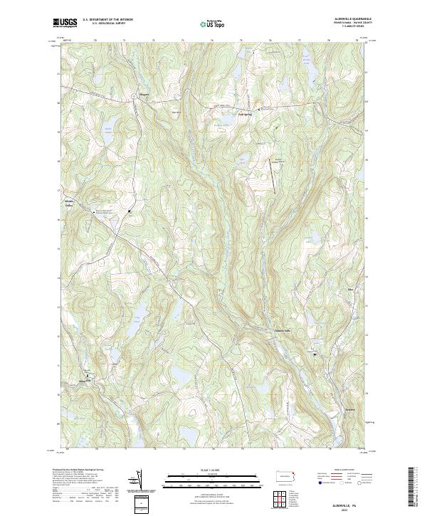
2023 Aldenville
Wayne County, PA
2023 Damascus
Wayne County, PA
2023 Galilee
Wayne County, PA
2023 Lake Ariel
Wayne County, PA
2023 Lake Como
Wayne County, PA
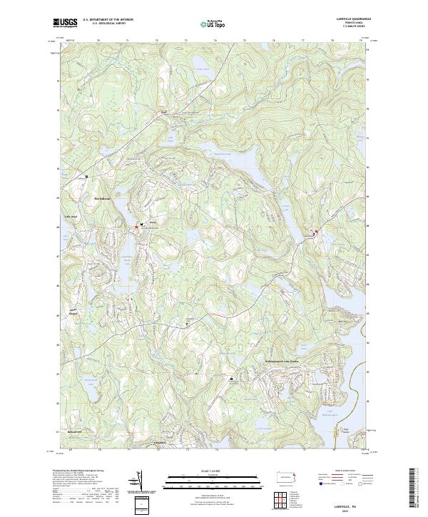
2023 Lakeville
Wayne County, PA
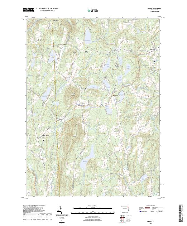
2023 Orson
Wayne County, PA
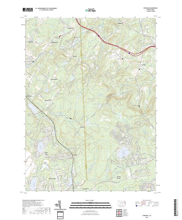
2023 Sterling
Wayne County, PA