
1923 Map of Livingston Manor
USGS Topo · Published 1923About this map
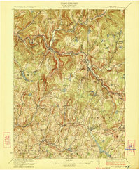
Livingston Manor serves as a central hub in this early 1920s survey of the Catskill region, situated at the confluence of the Willowemoc Creek and the Little Beaver Kill. The local economy is defined by heavy industry and timber processing, evidenced by the Acid Plant, Dye Works, and a Creosote Plant located along the rail corridor. The Ontario and Western RR provides the primary transportation spine, snaking through the narrow valleys alongside the Beaver Kill and Willowemoc Creek. The landscape is densely populated with small rural institutions, including the Benton Hollow Church and nearly twenty district schools such as Sprague School, Turnpike School, and Hardenburgh School. Higher elevations like Rattle Hill and Walnut Mtn overlook numerous small water bodies, including Tennanah Lake and Waneta Lake, which were already established as early mountain retreats.
Find a feature on this map
115 named features on this map. Tap any name to fly to it.
Don’t see what you’re looking for? This feature index may not catch every label — zoom into the map to look around manually.
Map Details
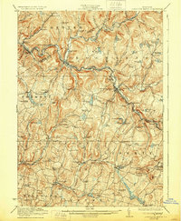
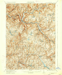
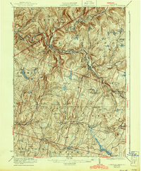
Editions of this 1923 Livingston Manor Map
5 editions found
Other maps of this area

1901 · Margaretville
USGS Topo · 1:62,500

1904 · Margaretville
USGS Topo · 1:62,500

1909 · Monticello
USGS Topo · 1:62,500

1910 · Neversink
USGS Topo · 1:62,500

1911 · Monticello
USGS Topo · 1:62,500

1920 · Long Eddy
USGS Topo · 1:62,500

1920 · Damascus
USGS Topo · 1:62,500

1921 · Long Eddy
USGS Topo · 1:48,000

1921 · Livingston Manor
USGS Topo · 1:62,500

1922 · White Lake
USGS Topo · 1:62,500