
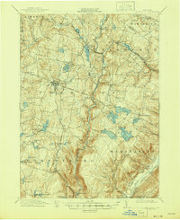
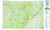
1909 Map of Monticello
USGS Topo · Published 1956About this map
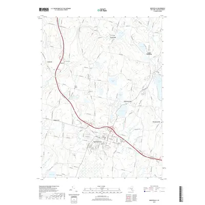
Monticello serves as the central hub for this early 20th-century landscape, which is defined by the heavy presence of the New York Ontario and Western RR and the Port Jervis and Kingston Div. This era marks a significant period for Sullivan County as a destination, evidenced by the numerous named parks and social clusters like Mamakating Park, Merriewold Park, and the Hartwood Club.
Find a feature on this map
88 named features on this map. Tap any name to fly to it.
Don’t see what you’re looking for? This feature index may not catch every label — zoom into the map to look around manually.
Map Details
Editions of this 1909 Monticello Map
This is the sole edition of this map. No revisions or reprints were ever made.
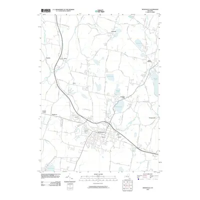
Historical Maps of Thompson Through Time
12 maps found
1909 Monticello
Sullivan County, NY
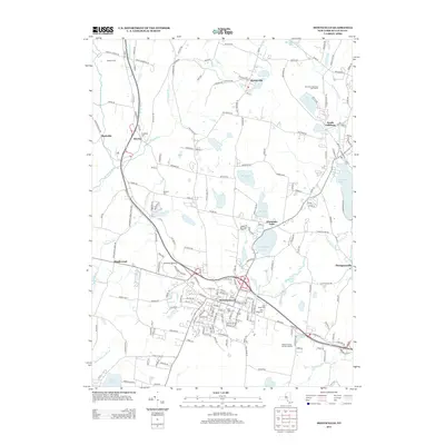
1911 Monticello
Sullivan County, NY

1943 Monticello
Sullivan County, NY
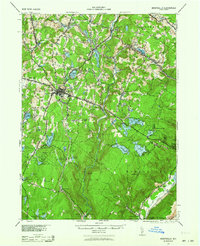
1943 Monticello
Sullivan County, NY
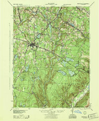
1944 Monticello
Sullivan County, NY
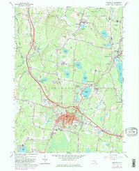
1966 Monticello
Sullivan County, NY
1986 Monticello
Sullivan County, NY
2010 Monticello
Sullivan County, NY
2013 Monticello
Sullivan County, NY
2016 Monticello
Sullivan County, NY
2019 Monticello
Sullivan County, NY

2023 Monticello
Sullivan County, NY