
1906 Map of Ellenville
USGS Topo · Published 1906About this map
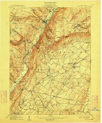
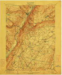
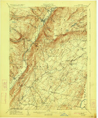
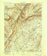
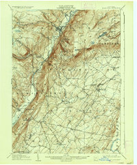
Ellenville serves as the focal point of this 1903-1904 survey, situated at the junction of the Sandburg Creek and Rondout Creek within the deep valley of Mamakating Hollow. The landscape is dominated by the dramatic rise of the Shawangunk Mountains to the east, featuring prominent landmarks like Sams Pt, Indian Rock, and the Ice Caves. This era captures a significant transition in regional transportation, as the Delaware and Hudson Canal is marked as abandoned, while the New York Ontario and Western RR provides the primary industrial link through settlements like Summitville and Phillipsport. To the south, a network of historic thoroughfares including the Old Newburg Turnpike and Cochecton Turnpike connects agricultural communities such as Bullville, Circleville, and Thompson Ridge, where New Prospect Church and Grahams Church stand as local landmarks.
Find a feature on this map
107 named features on this map. Tap any name to fly to it.
Don’t see what you’re looking for? This feature index may not catch every label — zoom into the map to look around manually.
Map Details
Editions of this 1906 Ellenville Map
7 editions found
Other maps of this area

1901 · Rosendale
USGS Topo · 1:62,500

1902 · Schunemunk
USGS Topo · 1:62,500

1903 · Newburg
USGS Topo · 1:62,500

1903 · Rosendale
USGS Topo · 1:62,500

1903 · Slide Mountain
USGS Topo · 1:62,500

1904 · Ellenville
USGS Topo · 1:62,500

1905 · Slide Mountain
USGS Topo · 1:62,500

1906 · Port Jervis
USGS Topo · 1:62,500

1906 · Goshen
USGS Topo · 1:62,500

1908 · Goshen
USGS Topo · 1:62,500