
1902 Map of Schunemunk
USGS Topo · Published 1902About this map
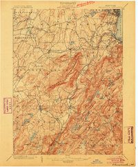
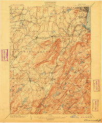
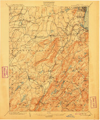
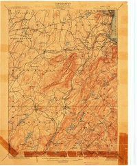
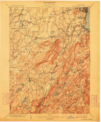
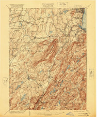
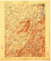
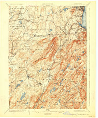
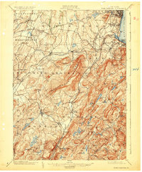
The Schunemunk Mountain ridge dominates this 1902 survey, serving as a geological spine that separates the industrial riverfront from the interior dairy and iron-mining lands of Orange County. Along the Hudson River, the map documents the bustling waterfront at Cornwall Landing and Cornwall on the Hudson, where the Shore R.R. connects shoreline commerce to the interior. Moving west, the landscape transitions into a dense network of rail lines, including the Erie R.R. and the Ontario and Western R.R., which intersect at vital junctions like Vailsgate Junc. and serve agrarian centers like Washingtonville. To the south, the industrial history of the Highlands is evident in features like the Bull Mine and the Forest of Dean, highlighting an era when local resource extraction was as central to the economy as the rail-borne trade.
Find a feature on this map
123 named features on this map. Tap any name to fly to it.
Don’t see what you’re looking for? This feature index may not catch every label — zoom into the map to look around manually.
Map Details
Editions of this 1902 Schunemunk Map
10 editions found
Other maps of this area

1891 · Greenwood Lake
USGS Topo · 1:62,500

1891 · Ramapo
USGS Topo · 1:62,500

1892 · West Point
USGS Topo · 1:62,500

1892 · Tarrytown
USGS Topo · 1:62,500

1893 · Greenwood Lake
USGS Topo · 1:62,500

1893 · Tarrytown
USGS Topo · 1:62,500

1893 · Ramapo
USGS Topo · 1:62,500

1893 · Poughkeepsie
USGS Topo · 1:62,500

1894 · West Point
USGS Topo · 1:62,500

1894 · Poughkeepsie
USGS Topo · 1:62,500