
1894 Map of West Point
USGS Topo · Published 1894About this map
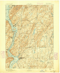
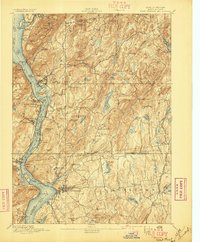
The Hudson River dominates this topographic study, carving a deep gorge between iconic landmarks like Storm King, Crows Nest, and Anthony's Nose. On the western shore, the military academy at West Point is shown alongside Ft Putnam, while across the water, Constitution Island and the village of Cold Spring sit at the river's edge. This late 19th-century geography reveals a region defined by its rail-and-river transport, with the West Shore Railroad and the New York Central and Hudson River Railroad flanking the water. Further inland, the map captures the transition to an upland landscape of reservoirs and mining, featuring the Mahopac Mines and the Mahopac Mines Branch. Numerous small hamlets such as Shrub Oak, Jefferson Valley, and Baldwin Place dot the hills of Westchester and Putnam counties, connected by winding roads and the New York City & Northern Railroad.
Find a feature on this map
105 named features on this map. Tap any name to fly to it.
Don’t see what you’re looking for? This feature index may not catch every label — zoom into the map to look around manually.
Map Details
Editions of this 1894 West Point Map
3 editions found
Other maps of this area

1891 · Ramapo
USGS Topo · 1:62,500

1892 · Stamford
USGS Topo · 1:62,500

1892 · West Point
USGS Topo · 1:62,500

1892 · Carmel
USGS Topo · 1:62,500

1892 · Tarrytown
USGS Topo · 1:62,500

1893 · Carmel
USGS Topo · 1:62,500

1893 · Stamford
USGS Topo · 1:62,500

1893 · Tarrytown
USGS Topo · 1:62,500

1893 · Ramapo
USGS Topo · 1:62,500

1893 · Clove
USGS Topo · 1:62,500