
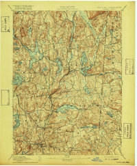
1893 Map of Carmel
USGS Topo · Published 1893About this map
Tilly Foster Mine serves as a focal point for this survey of the Highlands and the developing Croton watershed in the 1890s. The map captures a critical transition as the region's natural hydrology was being reshaped into a system of reservoirs to serve New York City, including the Middle Branch Reservoir, Bog Brook Reservoir, and East Branch Reservoir. Railroads like the New York and New England RR and the New York and Northern RR crisscross the landscape, linking established hubs like Brewster and Carmel to the wider metropolitan economy. Local industry and settlement patterns are visible in the placement of Coles Mills and Farmer Mills, while the numerous lakes and ponds, such as Lake Mahopac and Lake Gilead, highlight the area's emerging character as a retreat from the city. The detailed terrain relief documents the complex topography of Putnam and Westchester counties at the end of the nineteenth century.
Find a feature on this map
82 named features on this map. Tap any name to fly to it.
Don’t see what you’re looking for? This feature index may not catch every label — zoom into the map to look around manually.
Map Details
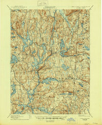
Editions of this 1893 Carmel Map
This is the sole edition of this map. No revisions or reprints were ever made.
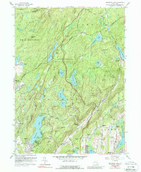
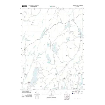
Historical Maps of Danbury Through Time
10 maps found

1892 Carmel
Putnam County, NY
1893 Carmel
Putnam County, NY
1894 Carmel
Putnam County, NY
1928 Carmel
Putnam County, NY
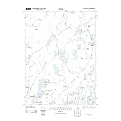
1956 Oscawana Lake
Putnam County, NY
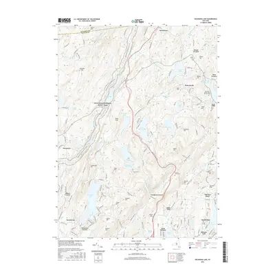
2010 Oscawana Lake
Putnam County, NY
2013 Oscawana Lake
Putnam County, NY
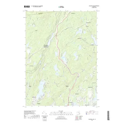
2016 Oscawana Lake
Putnam County, NY
2019 Oscawana Lake
Putnam County, NY
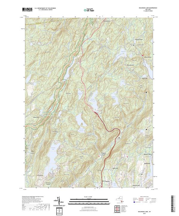
2023 Oscawana Lake
Putnam County, NY